


|

|
||
|
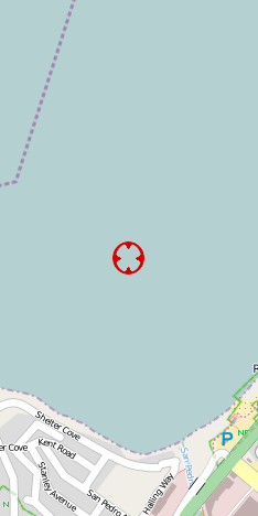
N37 36.13 W122 30.47 Image 5918 Mon Sep 30 15:31:42 2002 | ||
| OpenStreetMaps TopoZone | Pacifica State Beach, Linda Mar Section | ||
| Google Satellite MapQuest | Copyright © 2002 Kenneth & Gabrielle Adelman. All rights reserved. | ||
|
|
|||
|
|


California Coastal Records Project |
|
|
|
|